Location catalog overview
Jump to navigation
Jump to search
The location catalog is the backbone of the geospatial InfoEx system. This document give a general overview of the location catalog functionality of the InfoEx application.
Background
All observation entered into the InfoEx system need to be associated with a pre-defined location from your location catalog. For certain observation types, it is possible to also specify a more detailed location in the observation entry screen.
Loocations types
The InfoEx system currently supports the following location types
| Location type | Description | Supported geometries | Symbology |
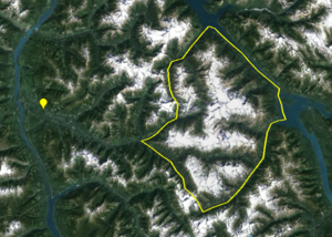
| Operation location | Represents main location of operation. Every operation need to have an operation location that acts as the parent for all other locations. | Polygon: Yellow outline with highlight transparent white fill Point: Yellow paddle |
|
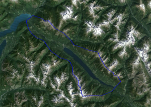
| Forecast area | Larger area that represents a unit for avalanche forecasting purposes. Typical spatial scales range from individuals bowls to large sections of western Canada. Typically used by ski areas, highway and railway forecasters, and public avalanche forecasting agencies. | Polygon: Blue outline with highlight transparent white fill | |
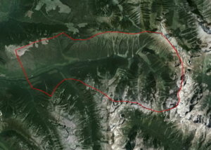
| Operating zone | Larger area that represents a unit for avalanche forecasting purposes. Typically used in mechanized and non-mechanized backcountry operations and commonly represent drainages or groups of drainages. | Polygon: Red outline with highlight transparent white fill | |
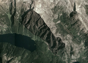
| Permanent closure | Permanently closed area of any spatial scales. Typically used in ski areas. | Polygon: Black outline with highly transparent black fill | |
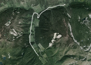
| Road | A complete or continuous section of a road. Can be used for both permanent roads (e.g., highways, access roads) and seasonal roads (e.g., cat roads in a catski operation) | Line: Wide white line | |
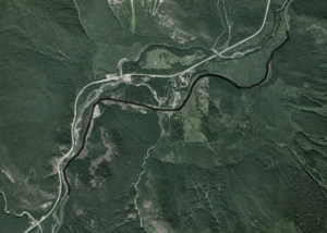
| Rail | A complete or continuous section of a railway line. | Line: Wide black line | |
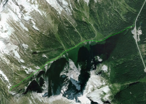
| Route | A complete or continuous section of route, typically an uphill ski or climbing route. Primarily used by non-mechanized backcountry operations. | Line: Light green line | |
| Ski run | Approximate location of a ski run | Polygon: Orange outline with transparent orange fill Line: Orange line Point: Red paddle with star |
|
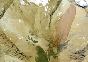
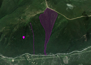
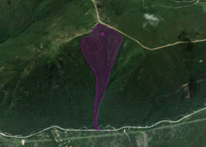
| Avalanche path | Location of an avalanche path | Polygon: Fuchsia outline with transparent fuchsia fill Line: Fuchsia line Point: Fuchsia paddle with star |
|
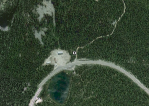
| Weather site | Location of a permanent weather or snow profile observation site | Point: Black and white square | |
| Shot placement | Location on an avalanche path regularly used for avalanche control with explosives | Point: Yellow paddle with star |
Step-by-step description
| 1. | Description of first step. |
| 2. | Description of second step. |
| 3. | ... |
Related documents
- Link to relate document 1
- Link to relate document 2
Functionality tested by
- Date: Tester / Server / Application version (e.g., Oct. 11: Pascal Haegeli / QA Server / Test Version 0.28.00)
