Location types and symbology
Jump to navigation
Jump to search
This page overs a detailed description of the supported location types and the symbols used to display them on the location catalog map.
| Location type | Description | Symbology |
|---|---|---|
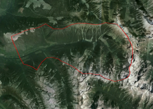
| Operation area | Represents main location of operation. Every operation need to have an operation location that acts as the parent for all other locations. | |
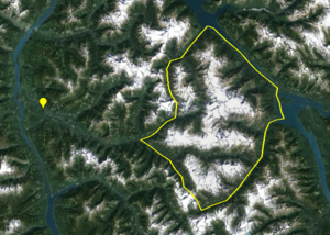
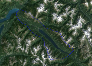
| Forecast area | Larger area that represents a unit for avalanche forecasting purposes. Typical spatial scales range from individuals bowls to large sections of western Canada. Typically used by ski areas, highway and railway forecasters, and public avalanche forecasting agencies. | |
| Operating zone | Larger area that represents a unit for avalanche forecasting purposes. Typically used in mechanized and non-mechanized backcountry operations and commonly represent drainages or groups of drainages. | |
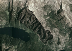
| Permanent closure | Permanently closed area of any spatial scales. Typically used in ski areas. | |
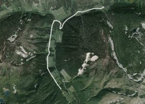
| Road | A complete or continuous section of a road. Can be used for both permanent roads (e.g., highways, access roads) and seasonal roads (e.g., cat roads in a catski operation) | |
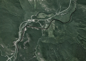
| Rail | A complete or continuous section of a railway line. | |
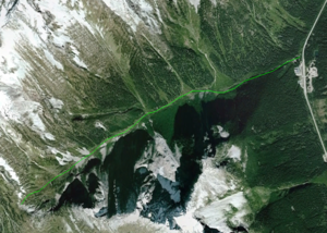
| Route | A complete or continuous section of route, typically an uphill ski or climbing route. Primarily used by non-mechanized backcountry operations. | |
| Ski run | Approximate location of a ski run | |
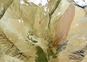
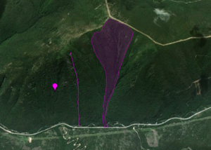
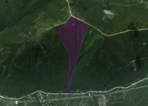
| Avalanche path | Location of an avalanche path | |
| Weather site | Location of a permanent weather or snow profile observation site | |
| Shot placement | Location on an avalanche path regularly used for avalanche control with explosives |
